From our October 2025 issue
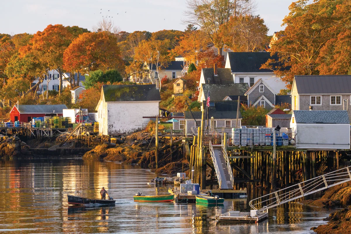
In 1823, a ship wrecked just offshore, shattering its hull and snapping its masts, and a passing schooner hauled the foundering vessel into this little harbor and claimed salvage rights over the cargo of fine mahogany. Usually, though, things aren’t so eventful around this quiet nook of the midcoast. Two centuries later, local boats putter in and out, hauling lobster rather than wreckage. For accommodations, there’s one bed-and-breakfast, which has been around since the Civil War (it was originally called the Union Hotel and claims to be Maine’s “oldest known coastal hotel structure.” The community also has an old general store and a waterfront lobster shack that’s something of a hidden gem. No need for eventfulness. A good lobster roll and a fine view are plenty.
Submit your answer below. We’ll feature our favorite answer in an upcoming issue and our Snapshot newsletter — and send the winner a Down East wall calendar. By entering below you agree to sign up for newsletters from Down East and our Partners.