
Your Ultimate 324-mile 3-Day 2-Night Fall Foliage Tour
By Virginia M. Wright
Photographed by Mark Fleming
[title maintitle=”Day 1″ subtitle=”Orchards, Hills, and Hidden Ponds”]
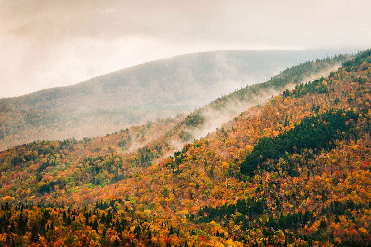
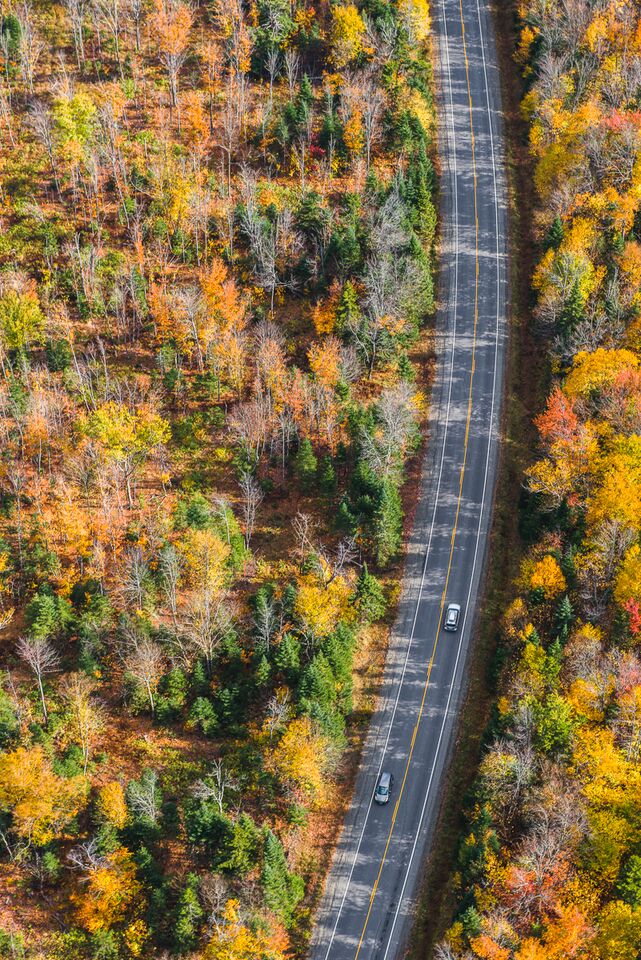
[T]he cars race east and west on Routes 25 and 302 in western Maine, their drivers hell-bent on getting to the coast or New Hampshire’s Presidential Range. Not you. You’re taking the Pequawket Trail Scenic Byway into the foothills of the White Mountains. You slip through the tiny towns of Baldwin, Hiram, and Brownfield and skirt placid ponds that are every bit as beautiful (some might argue more so) as that big, famous lake just down the road. The lazy Saco River twists itself into so many knots you lose track of the number of times you cross it. In Fryeburg, Route 113 drops the state Scenic Byway designation, but there is nothing ordinary about the next 40 miles. You dip into the fertile Saco River intervale, a vast, flat lowland dotted with antique barns and recently harvested fields and offering unparalleled views of the White Mountains. Weaving back and forth over the Maine–New Hampshire border four times, you are soon climbing Evans Notch, a mountain pass in the White Mountain National Forest. The road here is so narrow that it is canopied by the branches of maples, birches, and beeches — it’s a glorious tunnel of red, orange, and gold.


This is the forgotten Maine. Lakes and woods. Mountains round, humble, and lush. There’s a ton of great culture and good, hardworking people — we say there’s a carpenter for every tree. — Carol Noonan, musician and owner of Stone Mountain Arts Center, Brownfield.
Detours
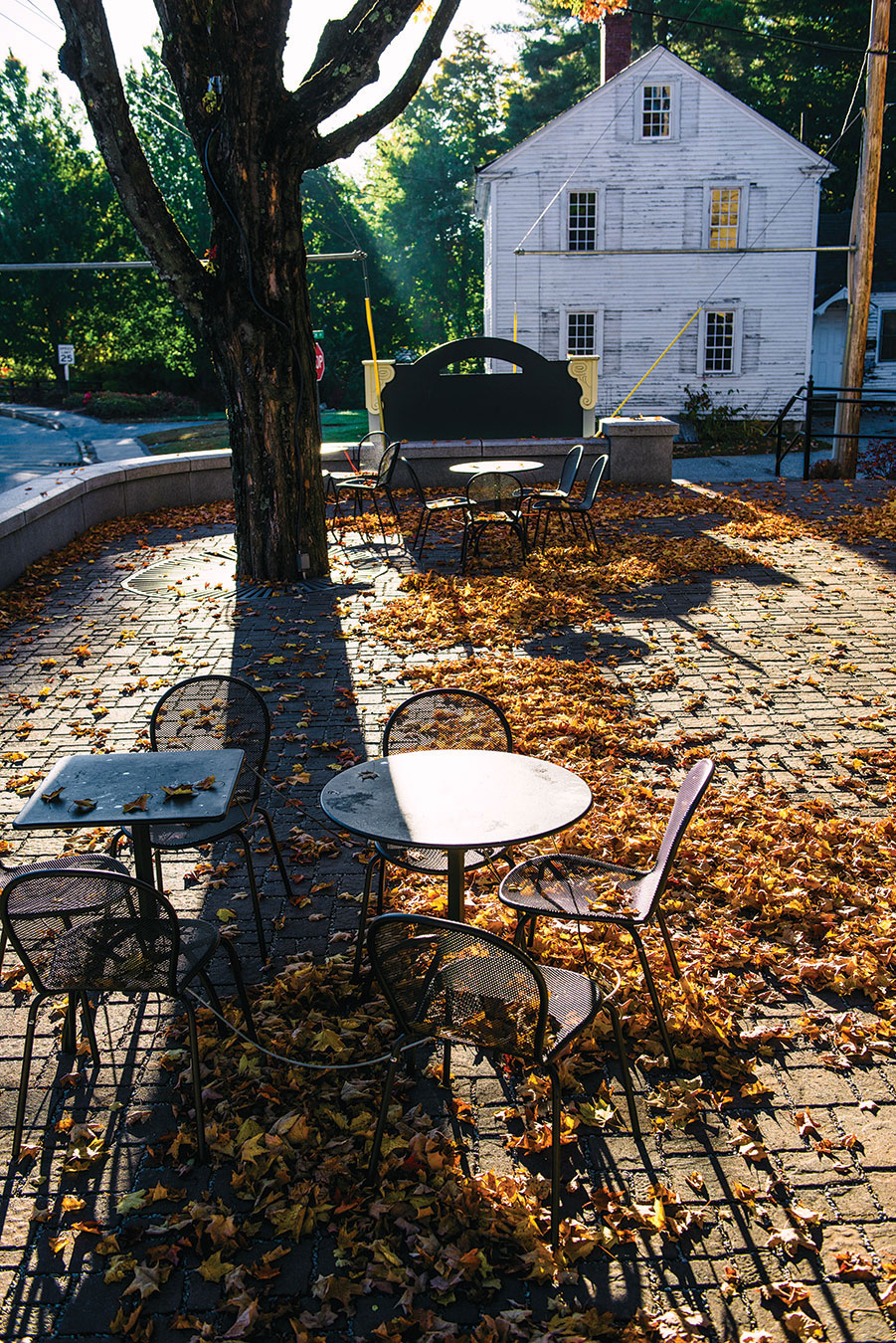
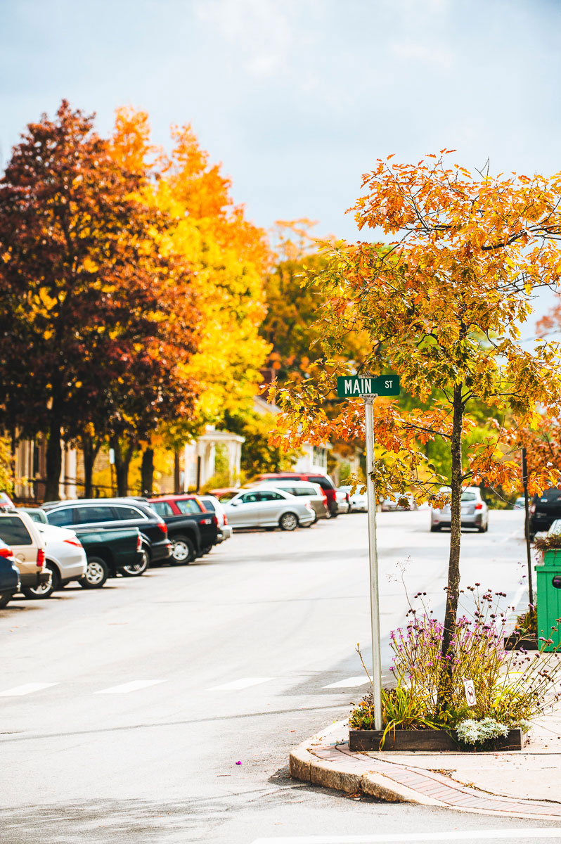
◆ Shop for antiques in Cornish. Ten (at least) antiques shops are within walking distance of each other in this colonial village on the Ossipee River. Before resuming your journey, zip up High Road for spectacular views of the White Mountains.
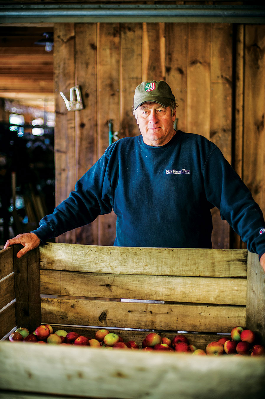
◆ Pick apples at Five Fields Farm on the slope of Ministers Hill. Third-generation orchardist Tom Gyger grows McIntoshes, Cortlands, Macouns, Paula Reds, Honey Crisps, and more. Rte. 107, South Bridgton. 207-647-2425. fivefieldsski.com
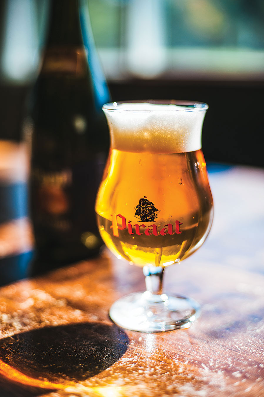
◆ Take a beer break. It doesn’t look like much from the outside, but Standard Gastropub, a working gas station, has 11 regional taps, a couple hundred varieties of bottled beers, and a small but well-executed menu of savory pub snacks. 233 Main St., Bridgton. 207-647-4100. Or shoot over to Lovell to visit the place BeerAdvocate proclaims “the best beer bar on the planet.” Ebenezer’s Pub has 35 Belgian beers on tap and more than 1,000 bottled beers. 44 Allen Rd., Lovell. 207-925-3200. ebenezerspub.net
◆ Grab some sandwiches from the Stow Corner Store on Route 113 (they make everything from a traditional roast turkey to tequila-lime shrimp with onions and banana peppers), then follow Route 113 to Evans Notch. Work up an appetite on The Roost, a 2-mile loop hike with outstanding views of the Wild River Valley. Picnic at the Wild River footbridge.


The Route
North on Route 117, from Cornish to West Baldwin (2 miles)
North on the Pequawket Trail Scenic Byway (Route 113), from West Baldwin to Fryeburg (18 miles)
North on Route 113, from Fryeburg to Gilead (30 miles)
East on Route 2 from Gilead to Bethel (13 miles)
Where to Sleep
With an abundance of B&Bs and motels, Bridgton and Bethel are your best options for lodging. Get suggestions from the Greater Bridgton Lakes Region Chamber of Commerce (207-647-3472. mainelakeschamber.com) and the Bethel Area Chamber of Commerce (207-824-2282. bethelmaine.com). There are several campgrounds in the area, including four White Mountain National Forest campgrounds on Route 113 in Evans Notch. 877-444-6777. forestcamping.com
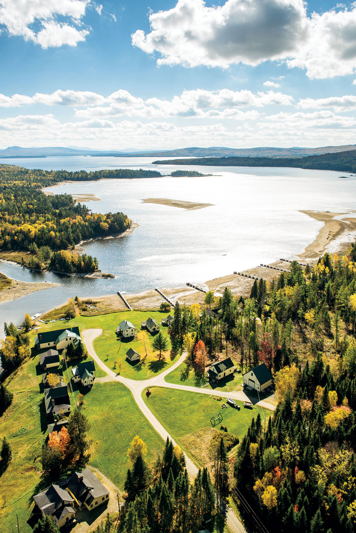
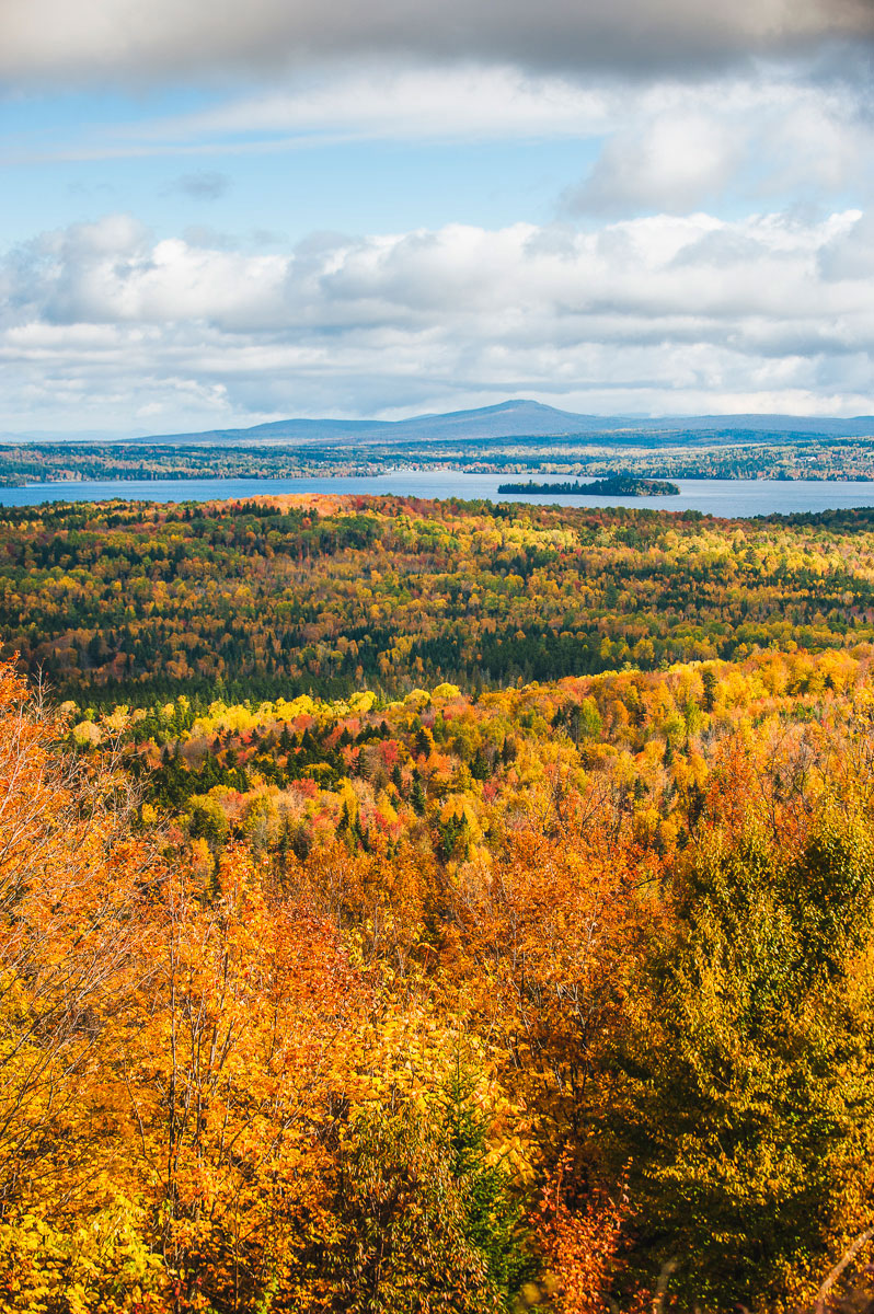
[title maintitle=”Day 2″ subtitle=”Mountains and Waterfalls”] [R]oute 2 follows the Androscoggin River northeast from Bethel, a mix of woods and farm fields. You see farm stands selling pumpkins and other falls crops, plus lawn displays, which, with their jumble of peeling shutters, wooden chairs, wheelbarrows, and birdbaths, fall somewhere between an antiques shop and a junkyard. After you pass through the mill towns of Rumford and Mexico, you venture into a dramatically different landscape. The woods, dense with spruce, close in, and the terrain is rugged. Even the rivers have a harder edge: In Byron, the Swift River has carved Coos Canyon, a long, deep gorge with pools that make for great swimming if the temperature allows. A few miles north, one of the Swift’s tributaries plunges over 90-foot-high Angel Falls. The Rangeley Lakes National Scenic Byway begins near here, climbing to Height of Land, a spectacular overlook with views of Mooselookmeguntic and Upper Richardson lakes and the surrounding mountains. Looping around Rangeley Lake, the route is dotted with ponds, lakes, and viewpoints all the way to Smalls Falls, a series of cascades on the Sandy River in Township E.


We have moose. We have bear. We have these bright-blue lakes surrounded by big mountains. I call this place ‘my little Alaska.’ — Keith Deschambeault, pilot and owner of Acadian Seaplanes, Rangeley
Detours
◆ Stroll around the maple-edged Bethel Hill Common, a classic New England town green with a gazebo, then pop into the Bethel Historical Society’s 1821 O’Neil Robinson House and learn about “the Athens of Oxford County.” Broad Street on the Common. 207-824-2908.
bethelhistorical.org
◆ Ride the Sunday River Chondola and see the Mahoosuc Mountains in all their golden glory. Sunday River Rd., Newry. 800-543-2754.
sundayriver.com
◆ Go higher: Acadian Seaplanes offers both seaplane and helicopter tours of the Rangeley Lakes Region. 2640 Main St., Rangeley. 207-864-5307. acadianseaplanes.com
◆ Brush up on Maine’s sporting camp history at the Rangeley Outdoor Sporting Heritage Museum. Exhibits include a display of vintage, handcrafted equipment like fishing rods, paddles, creels, and canoes, as well as memorabilia from President Dwight Eisenhower’s 1955 Rangeley vacation. Rtes. 4 and 17, Oquossoc. 207-864-3091.
rangeleyoutdoormuseum.org


The Route
Northeast on Route 2, from Bethel to Mexico (24 miles)
North on Route 17, from Mexico to Oquossoc (36 miles)
Southeast to Smalls Falls along the Rangeley Lakes Scenic Byway (Route 4), returning via South Shore Road (39 miles)
Where to Sleep
A wide range of lodging, from B&Bs and hotels to sporting camps, cabins, and campgrounds can be found in the Rangeley area. The Rangeley Lakes Chamber of Commerce maintains a comprehensive list. 207-864-5571. rangeleymaine.com
[title maintitle=”Day 3″ subtitle=”Wild Rivers and Lakes”]Fill up your gas tank and stock your cooler: the road from Solon to Jackman is so wild and isolated that it can make the Rangeley Lakes seem settled and tame. For more than 25 miles, the Old Canada Road Scenic Byway hugs the Kennebec River, at times so wide it looks more like a lake (and, in fact, it is just above Moscow, where the river has been dammed to form Wyman Lake). The riverbanks are heavily forested, and the towns — what few there are — are mere whispers. You are on what the locals call Moose Alley, so named for the number of moose spotted along this route (countless moose-crossing road signs, some with flashing lights, warn drivers to be alert). In Jackman, you turn east on the Moosehead Lake Scenic Byway, following a chain of lakes — Long Pond, Brassua, and Moosehead, all the way to the rustic resort village of Greenville.


The Moosehead Lake region is so wild, the scenery so spectacular. We’re in the heart of two great whitewater rivers, so you can go rafting in either direction, and there are beautiful waterfalls you can reach on a nice leisurely hike. — Jessica Hargreaves, Northeast Whitewater
Detours
◆ Float for foliage. Northern Outdoors’ whitewater rafting trips on the Kennebec extend into October. 1771 US Route 201, The Forks, Maine, 800-765-7238. northernoutdoors.com
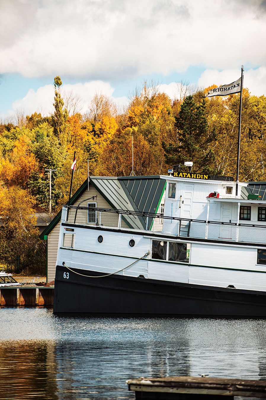
◆ Cruise to the tip of the Kineo peninsula, where Mount Kineo, a 700-foot monolith, rises over Moosehead Lake. The Kineo Shuttle makes the 10-minute trip from Rockwood Public Landing four times a day until October 12. 207-534-9012. greenvilleme.com
◆ Go on a moose safari. Northeast Whitewater’s Registered Maine Guides take visitors to the gangly beasts’ favorite haunts via van or canoe. 142 Moosehead Lake Rd., Greenville. 207-695-0151, 888-484-3317. mainemoosewatching.com
◆ Find your inner sportsman at Kamp Kamp. This Greenville fixture captures the North Woods spirit with camp furnishings, plaid wool shirts, balsam pillows, fishing lures, and taxidermy mounts. Where else are you going to find a salmon leaping over a moose antler? 3 Lily Bay Rd., Greenville. 207-695-0789. kampkamp.com


The Route
East on Route 4, from Rangeley to Strong (29 miles)
East on Route 234, from Strong to North Anson (19 miles)
North on Route 201A, from North Anson to Solon (8 miles)
North on Old Canada Road Scenic Byway (Route 201), from Solon to Jackman (57 miles)
East on the Moosehead Lake Scenic Byway (Routes 6/15), from Jackman to Greenville (49 miles)
[button content=”See More From This Issue” color=”orange” text=”white” url=”https://downeast.com/october-2015-2/” openin=”_self”]
 Get the best of Maine Travel, Food, Culture, and Homes & Gardens every month, with a subscription to Down East, the Best of Maine. Gift subscriptions available.